

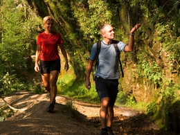
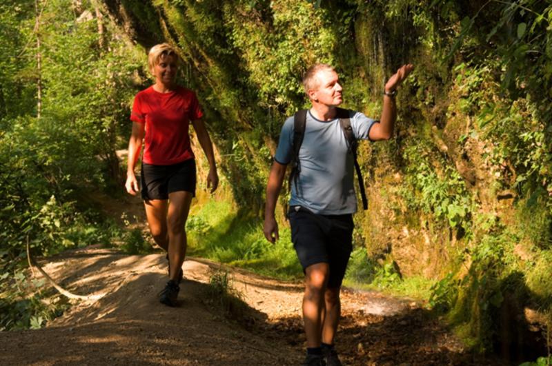
Weg zur Roten Kapelle ("Himmelsteig" Nr. 20)

- All weather
- Suitable for families
Interactive elevation profile
Create PDF
Tour-Details
Starting place: 5252 Aspach
Destination: 5252 Aspach
duration: 1h 15m
length: 4,8 km
Altitude difference (uphill): 57m
Altitude difference (downhill): 51m
Lowest point: 432m
Highest point: 489m
difficulty: medium
condition: medium
panoramic view: Individual Views
Paths covering:
Asphalt
powered by TOURDATA
Kneipp spa house to the cemetery - to the Hofmann Chapel - path Ecking to the village Englham - about 100 m after Ammer farm turn left - over Grünweg path along the fields - Höhenweg path to the Red Chapel (resting bench) - along Höhenrücken - turn right into the farm road - village Ecking - Aspach or to the Höhenweg No. 14
The "Himmelssteig" was the path that people walked from the village of Thal to the church and on which they also carried the dead down to the cemetery. The name Red Chapel might refer to the plague dead of Aspach.
The "Himmelssteig" was the path that people walked from the village of Thal to the church and on which they also carried the dead down to the cemetery. The name Red Chapel might refer to the plague dead of Aspach.
- All weather
- Suitable for friends
- Suitable for children
- Spring
- Summer
- Autumn
- Early winter
Please get in touch for more information.
Marktplatz 9
5252 Aspach
Phone +43 7755 7355
Fax machine +43 7755 7355 - 4
E-Mail info@aspach.at
Web www.aspach.at
http://www.aspach.at
Interactive elevation profile
Create PDF
Tour-Details
Starting place: 5252 Aspach
Destination: 5252 Aspach
duration: 1h 15m
length: 4,8 km
Altitude difference (uphill): 57m
Altitude difference (downhill): 51m
Lowest point: 432m
Highest point: 489m
difficulty: medium
condition: medium
panoramic view: Individual Views
Paths covering:
Asphalt
powered by TOURDATA