

Kleine Kräuterland Tour

- culinary interesting
- culturally interesting
- Flatly
Interactive elevation profile
Create PDF
Tour-Details
Starting place: 4240 Waldburg
Destination: 4240 Waldburg
duration: 1h 35m
length: 18,3 km
Altitude difference (uphill): 442m
Altitude difference (downhill): 448m
Lowest point: 638m
Highest point: 798m
difficulty: medium
condition: medium
panoramic view: Great panorama
Paths covering:
Asphalt, Hiking trail
powered by TOURDATA
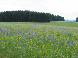
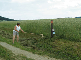
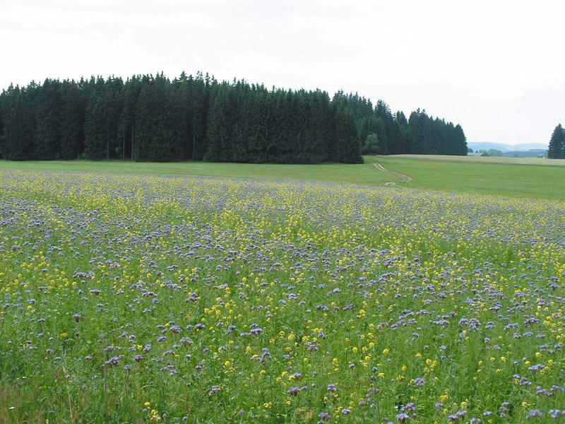
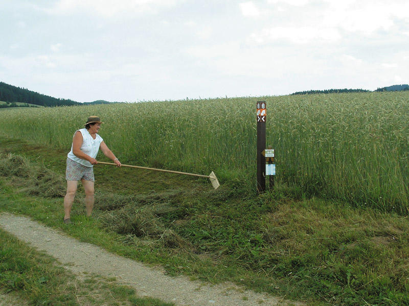
On the herb trail of the Mühlviertel high plateau to the 500-year-old Gothic treasures in Waldburg and Hirschbach! Minimal differences in altitude and little tarmac on the large Kräuterland tour, which has been shortened by half.
Sights along the bridleway: 3 late Gothic winged altars from Waldburg, mountain herb hall, original farmer's herb garden in Vorwald, Hirschbach mountain herb educational trail, late Gothic treasures of Hirschbach parish church, farmer's furniture museum in Hirschbach.
Sights along the bridleway: 3 late Gothic winged altars from Waldburg, mountain herb hall, original farmer's herb garden in Vorwald, Hirschbach mountain herb educational trail, late Gothic treasures of Hirschbach parish church, farmer's furniture museum in Hirschbach.
further information:
- culinary interesting
- Flatly
- Board possible
Details riding
- Area: medium
- Good riding experience: easy
Most economical season
- Spring
- Summer
- Autumn
Please get in touch for more information.
Summerauerstr. 1
4261 Rainbach im Mühlkreis
Phone +43 7949 6316
mobile +43 664 5001297
E-Mail reiterhof.stoeglehner@gmx.at
Web www.reit-erlebnis-akademie.at
Web www.muehlviertel-urlaub.at/reiten
http://www.reit-erlebnis-akademie.at
http://www.muehlviertel-urlaub.at/reiten
http://www.muehlviertel-urlaub.at/reiten
Interactive elevation profile
Create PDF
Tour-Details
Starting place: 4240 Waldburg
Destination: 4240 Waldburg
duration: 1h 35m
length: 18,3 km
Altitude difference (uphill): 442m
Altitude difference (downhill): 448m
Lowest point: 638m
Highest point: 798m
difficulty: medium
condition: medium
panoramic view: Great panorama
Paths covering:
Asphalt, Hiking trail
powered by TOURDATA