

Große Aistland Tour


- Flatly
Interactive elevation profile
Create PDF
Tour-Details
Starting place: 4230 Hagenberg im Mühlkreis
Destination: 4230 Hagenberg im Mühlkreis
duration: 4h 29m
length: 49,6 km
Altitude difference (uphill): 1.393m
Altitude difference (downhill): 1.392m
Lowest point: 359m
Highest point: 852m
difficulty: easy
condition: medium
panoramic view: Some Views
Paths covering:
Asphalt, Hiking trail
powered by TOURDATA
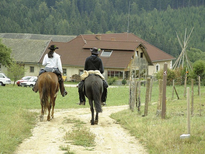
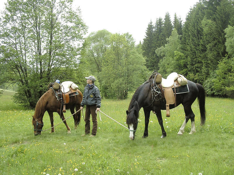
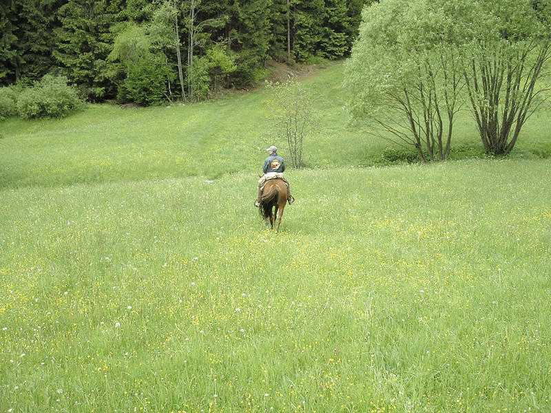
The fitness requirements are in the medium range for a horse trained in trail riding. The scenery on this tour is very varied, so you are happy to accept the individual sections of tarmac farm track (very little traffic), each no more than 2 km long. The total proportion of tarmac is 30%. The longest section of the route: from the start at RR Fürnhammer - with the exception of 2 short interruptions - to the Reichenstein ruins at around 5 km.
Overnight stay in a cosy atmosphere at the Hiaslbauer riding hostel at the foot of the Braunberg.
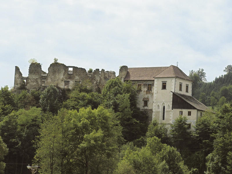
Sights along the bridleway: Reichenstein ruins, memorial to the murder of the knight Haim, Pechölstein in Hundsberg, wayside shrine from 1682, Klausmühle mill, spiral forge, Punkenhof farm, Weinberg castle.
Overnight stay in a cosy atmosphere at the Hiaslbauer riding hostel at the foot of the Braunberg.
Sights along the bridleway: Reichenstein ruins, memorial to the murder of the knight Haim, Pechölstein in Hundsberg, wayside shrine from 1682, Klausmühle mill, spiral forge, Punkenhof farm, Weinberg castle.
further information:
- Flatly
Details riding
- Area: medium
- Good riding experience: medium
Most economical season
- Summer
Please get in touch for more information.
Summerauerstr. 1
4261 Rainbach im Mühlkreis
Phone +43 7949 6316
mobile +43 664 5001297
E-Mail reiterhof.stoeglehner@gmx.at
Web www.reit-erlebnis-akademie.at
Web www.muehlviertel-urlaub.at/reiten
http://www.reit-erlebnis-akademie.at
http://www.muehlviertel-urlaub.at/reiten
http://www.muehlviertel-urlaub.at/reiten
Interactive elevation profile
Create PDF
Tour-Details
Starting place: 4230 Hagenberg im Mühlkreis
Destination: 4230 Hagenberg im Mühlkreis
duration: 4h 29m
length: 49,6 km
Altitude difference (uphill): 1.393m
Altitude difference (downhill): 1.392m
Lowest point: 359m
Highest point: 852m
difficulty: easy
condition: medium
panoramic view: Some Views
Paths covering:
Asphalt, Hiking trail
powered by TOURDATA