

Kleine Aistland Tour


- Flatly
Interactive elevation profile
Create PDF
Tour-Details
Starting place: 4230 Hagenberg im Mühlkreis
Destination: 4230 Hagenberg im Mühlkreis
duration: 3h 24m
length: 38,0 km
Altitude difference (uphill): 1.027m
Altitude difference (downhill): 1.026m
Lowest point: 359m
Highest point: 703m
difficulty: medium
condition: medium
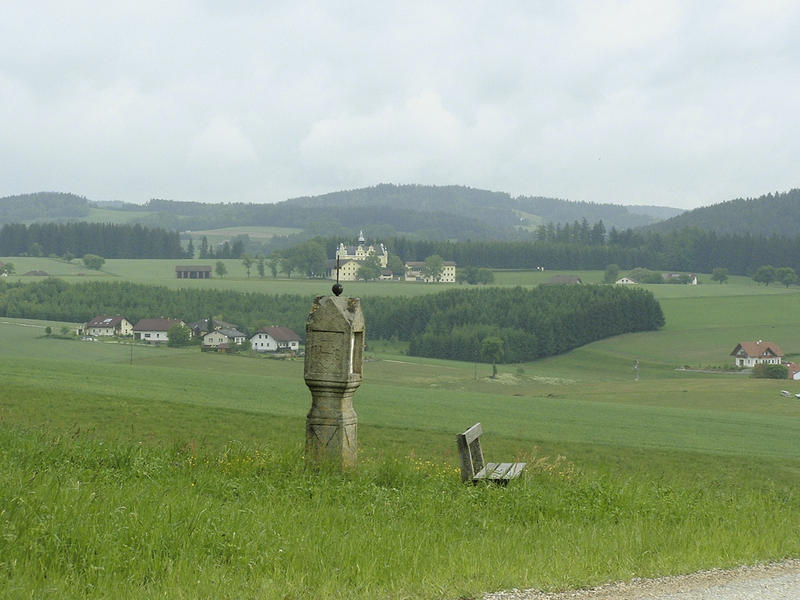
panoramic view: Great panorama
Paths covering:
Asphalt, Hiking trail
powered by TOURDATA
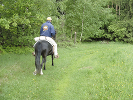
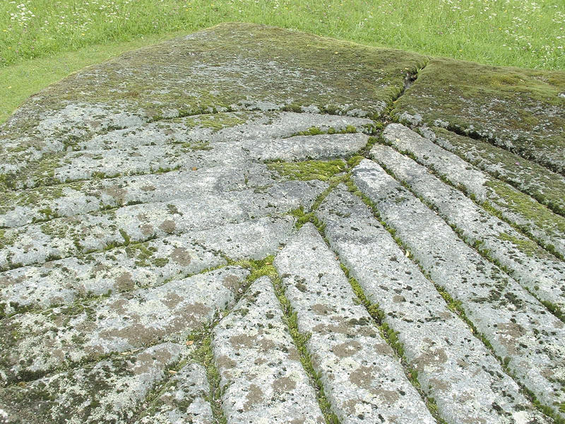
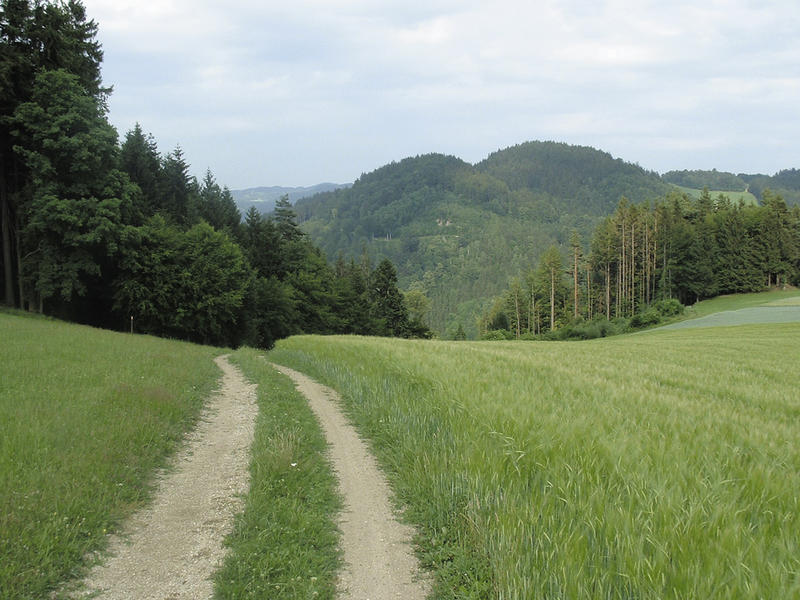
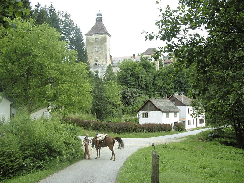
The tour leads through the characteristic landscape of the lower Mühlviertel: varied, deeply incised valleys and wooded hills with magnificent views and vistas. 50 % of the bridleway is on goods roads, which, however, have very little traffic. Nature trails and goods roads alternate constantly - almost every kilometre for most of the route. The goods routes connect the wooded hills, which have to be overcome several times along the route. Example: From Ruine Reichenstein to Gaisruckdorf 130 m elevation gain in 1 km.
The two longer tarmac sections are each with the exception of 2 short interruptions.
The two longer tarmac sections are each with the exception of 2 short interruptions.
further information:
- Flatly
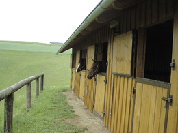
Details riding
- Area: medium
- Good riding experience: easy
Most economical season
- Summer
Please get in touch for more information.
4230 Hagenberg im Mühlkreis
Phone +43 7956 7304
E-Mail office@reit-erlebnis-akademie.at
Web www.reit-erlebnis-akademie.at
Web www.muehlviertel.at
http://www.reit-erlebnis-akademie.at
http://www.muehlviertel.at
http://www.muehlviertel.at
Interactive elevation profile
Create PDF
Tour-Details
Starting place: 4230 Hagenberg im Mühlkreis
Destination: 4230 Hagenberg im Mühlkreis
duration: 3h 24m
length: 38,0 km
Altitude difference (uphill): 1.027m
Altitude difference (downhill): 1.026m
Lowest point: 359m
Highest point: 703m
difficulty: medium
condition: medium
panoramic view: Great panorama
Paths covering:
Asphalt, Hiking trail
powered by TOURDATA