Jahreskreisweg
Starting place: 4320 Allerheiligen im Mühlkreis
Destination: 4320 Allerheiligen im Mühlkreis
Qualified hiking trail
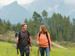
The Jahreskreisweg begins in the centre of Allerheiligen. From there, you have a more beautiful view of our homeland than from any other place in the Mühlviertel.The Jahreskreisweg is the ideal hiking experience for families on hot summer days, as the majority of the trail leads through a shady mixed forest. Many different stone formations adorn this path. Twelve stations in the annual circle of the zodiac signs provide information for hikers and invite them to take part in sporting exercises.
Other varied hiking trails such as the Panorama Trail, the Nature Park Trail, the Bergauf-Bergo? trail, the Health Trail and the Falkenstein Trail await keen hikers. Hiking maps are available free of charge at the municipal office and in the inns in Allerheiligen.
Most economical season
- Spring
- Summer
- Autumn
Please get in touch for more information.
Phone +43 7262 58012
E-Mail gemeinde@allerheiligen.ooe.gv.at
Web www.allerheiligen.ooe.gv.at
http://www.allerheiligen.ooe.gv.at


