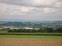
Wanderweg Greifing
Starting place: 4982 Mörschwang
Destination: 4982 Mörschwang
The trail starts at the village hall in Mörschwang and is 4.5 kilometres long.
The starting point is the Zaunerweiher pond on the Kleinmurham main road (car park). Take the Mossböck goods road that starts there in the direction of Möslwimm, then continue to the hill with the four birch trees. From there, turn left to the Greifing viewpoint.
The route leads along the Greifing goods road to the village of Greifing. Turn left there until the junction with the Mörschwanger Landstraße. Continue left on this road until the next junction. Turn left again here to the starting point.
Most economical season
- Spring
- Summer
- Autumn
- Early winter
- Deep winter
Please get in touch for more information.
4982 Mörschwang
Phone +43 7758 2266
E-Mail gemeinde@moerschwang.ooe.gv.at
Web www.moerschwang.at
http://www.moerschwang.at


