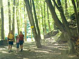
Wanderweg "Mystische neun Kapellen"
Starting place: 4761 Enzenkirchen
Destination: 4761 Enzenkirchen
"Mystical nine chapels" hiking trail
The "Mystic nine chapels" hiking trail follows spiritual traces. Pagan places of worship and mythical-religious tales provide an insight into a world in which nature still amazed people and made them shudder. Tales of supernatural apparitions and miraculous healings complete the picture.
Route:
Enzenkirchen - Goldberg - Götting -Ungernberg - Kriegen - Schwarzenberg - Straßwitraun - Enzenkirchen
Description:
The "Mystic nine chapels" hiking trail is 13.8 kilometres long. The trail leads from Enzenkirchen to Goldberg, on via Götting and Ungernberg to Kiegen, then via Schwarzenberg and Straßwitraun back to Enzenkirchen.
Most economical season
- Spring
- Summer
- Autumn
Please get in touch for more information.
Phone +43 7762 3215
E-Mail gemeinde@enzenkirchen.ooe.gv.at
Web www.enzenkirchen.ooe.gv.at
http://www.enzenkirchen.ooe.gv.at


