Weberbartlweg
Path number: 22
Starting place: 4076 St. Marienkirchen an der Polsenz
Destination: 4076 St. Marienkirchen an der Polsenz
Kirchenplatz 1
4076 St. Marienkirchen an der Polsenz
4076 St. Marienkirchen an der Polsenz

The starting point is the town centre of St. Marienkirchen an der Polsenz (approach from Wels or Eferding on the Wallerner Bundesstrasse - B134). You can park at the community centre, at the kindergarten or at the outdoor pool.
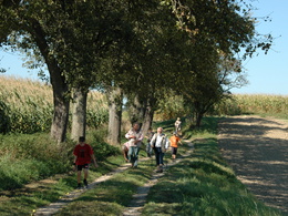
Trail type: slightly hilly, many natural paths. Walking time: approx. 2 hours; length: approx. 8.5 kilometres
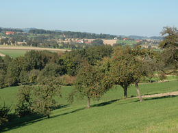
Come with us to the Weberbartl! Who is that? In the Obst-Hügel-Land Nature Park you will find out, and the Weberbartl will accompany you through the beautiful landscape in the west of St. Marienkirchen an der Polsenz. If you come at the beginning of May, it will be in full bloom, if you hike in autumn, it will give you presents ...
The Weberbartl is, to put it bluntly, an apple variety that is quite common in the area around Grieskirchen. It was named after the Weberbartl estate in Furth, from where it is said to have spread. Incidentally, Weberbartl - officially called Bartholomä Reiter - was one of the main proponents of Protestantism when the parish of Wallern was established around 1782.
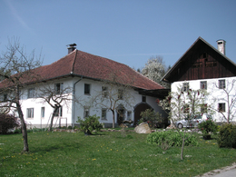
We follow in his footsteps from the market square in St. Marienkirchen, cross the Valtauer Bach stream towards the sports field and turn left. The path initially leads along the renaturalised Polsenz. At the Aibachsteg footbridge, you can see the Weberbartl house on the right. We walk to the Polsenz bridge, over which we cross the stream again. We then turn left to the next farmhouse and walk along the stream. Pass the farm on the left and after the ponds turn right uphill. Walk along the forest, turn right at the farm and follow the goods road back into the Polsenz valley to the main road, where we turn right. Immediately afterwards, turn left to the next farmhouse, past the silos and up to Fürneredt. After the hamlet, we pass a forest, then turn left and turn left again at the houses. We walk past a chapel on the right and through a hollow path to the road. Turn right and soon turn left onto the Höllerberg farm track. Finally, we walk down to the left on the Way of the Cross and back to the centre of St. Marienkirchen.
Tip: Back in St. Marienkirchen, it is worth visiting the rustic cider museum or the new "Mostspitz" nature park cider cellar. There you can also enjoy a glass of pure Weberbartl cider.
A hiking map with the most beautiful leisure trails in the Obst-Hügel-Land Nature Park is available from Monday to Friday during office hours in the Nature Park office and in the two municipal offices in Scharten and St. Marienkirchen.
- Suitable for groups
- Suitable for schools
- Suitable for kids (6 - 14 Year)
- Pets allowed
- Suitable for families
- Spring
- Summer
- Autumn
Please get in touch for more information.
Kirchenplatz 1
4076 St. Marienkirchen an der Polsenz
Phone +43 7249 47112 - 25
E-Mail info@obsthuegelland.at
Web obsthuegelland.at/
https://obsthuegelland.at/


