

Weißau-Oberhaft Weg Nr. 143

Interactive elevation profile
Create PDF
Tour-Details
Starting place: 5222 Munderfing
Destination: 5222 Munderfing
duration: 1h 39m
length: 6,6 km
Altitude difference (uphill): 44m
Altitude difference (downhill): 9m
Lowest point: 465m
Highest point: 511m
powered by TOURDATA
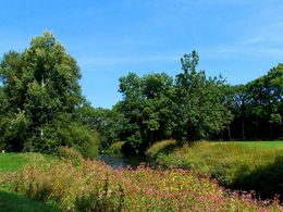
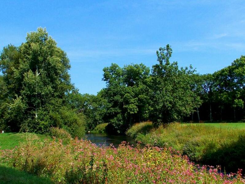
Starting point Bachleitner family, Römerstraße 1 - trail no. 143 in the direction of Hirschlag-Buch-Stocker . Unterweißau - Oberweißau -Oberhaft, approx. 6.5 km
(circular route towards Munderfing back via Hafter Kirchenweg trail no. 141 or Gangsteig trail no. 140 along the Schwemmbach stream)
(circular route towards Munderfing back via Hafter Kirchenweg trail no. 141 or Gangsteig trail no. 140 along the Schwemmbach stream)
Most economical season
- Spring
- Summer
- Autumn
Please get in touch for more information.
5222 Munderfing
Phone +43 7744 6255
Fax machine +43 7744 6255 - 5
E-Mail gemeinde@munderfing.ooe.gv.at
Web munderfing.at
http://munderfing.at
Interactive elevation profile
Create PDF
Tour-Details
Starting place: 5222 Munderfing
Destination: 5222 Munderfing
duration: 1h 39m
length: 6,6 km
Altitude difference (uphill): 44m
Altitude difference (downhill): 9m
Lowest point: 465m
Highest point: 511m
powered by TOURDATA