

Badweg Nr. 145


Interactive elevation profile
Create PDF
Tour-Details
Starting place: 5222 Munderfing
Destination: 5230 Mattighofen
duration: 0h 42m
length: 2,9 km
Lowest point: 453m
Highest point: 466m
difficulty: easy
condition: easy
panoramic view: Individual Views
Paths covering:
Asphalt, Street, Hiking trail, Other
powered by TOURDATA
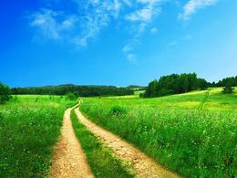
Starting point Munderfing -Lindenstraße- path no. Gewerbegebiet Nord - Alt-Höllersberg - to Trattmannsberg to the Mattighofen adventure pool (approx. 3km)
Most economical season
- Spring
- Summer
- Autumn
Please get in touch for more information.
Dorfplatz 1
5222 Munderfing
Phone +43 7744 6255
E-Mail gemeinde@munderfing.ooe.gv.at
Web www.munderfing.at
http://www.munderfing.at
Interactive elevation profile
Create PDF
Tour-Details
Starting place: 5222 Munderfing
Destination: 5230 Mattighofen
duration: 0h 42m
length: 2,9 km
Lowest point: 453m
Highest point: 466m
difficulty: easy
condition: easy
panoramic view: Individual Views
Paths covering:
Asphalt, Street, Hiking trail, Other
powered by TOURDATA