

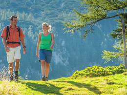
Rundweg Grabensee (P4)


Interactive elevation profile
Create PDF
Tour-Details
Starting place: 5166 Perwang am Grabensee
Destination: 5166 Perwang am Grabensee
duration: 1h 54m
length: 7,5 km
Altitude difference (uphill): 53m
Altitude difference (downhill): 52m
Lowest point: 503m
Highest point: 534m
difficulty: medium
condition: medium
panoramic view: Some Views
Paths covering:
Gravel, Street, Hiking trail
powered by TOURDATA
approx. 6 km around the Grabensee, an area that has already been largely purchased by the Upper Austrian provincial government for nature conservation purposes, as it is a raised bog area with very interesting birdlife.
Most economical season
- Spring
- Summer
- Autumn
Please get in touch for more information.
Theatergasse 3
5280 Braunau am Inn
Phone +43 7722 62644
mobile +43 6217 8247
E-Mail info@entdeckerviertel.at
Web www.entdekcerviertel.at
Web www.perwang.at
http://www.entdekcerviertel.at
http://www.perwang.at
http://www.perwang.at
Interactive elevation profile
Create PDF
Tour-Details
Starting place: 5166 Perwang am Grabensee
Destination: 5166 Perwang am Grabensee
duration: 1h 54m
length: 7,5 km
Altitude difference (uphill): 53m
Altitude difference (downhill): 52m
Lowest point: 503m
Highest point: 534m
difficulty: medium
condition: medium
panoramic view: Some Views
Paths covering:
Gravel, Street, Hiking trail
powered by TOURDATA