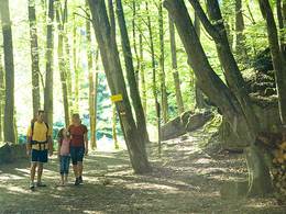
High trail
Starting place: 4701 Bad Schallerbach
Destination: 4701 Bad Schallerbach
children's court
Free cycling, hiking and riding maps available from the Vitalwelt tourist office.
Starting place: 4701 Bad Schallerbach
Destination: 4701 Bad Schallerbach
duration: 1h 27m
length: 6,0 km
Altitude difference (uphill): 17m
Altitude difference (downhill): 10m
Lowest point: 294m
Highest point: 314m
Paths covering:
Asphalt, Gravel, Other
Starting point: Europaplatz, Promenade 2, 4701 Bad Schallerbach
Destination: Europaplatz, Promenade 2, 4701 Bad Schallerbach
further information:
- Flatly
daily
Accessibility / arrival
by car:
On the A8 motorway from Passau, exit Pichl
On the A8 motorway from Linz, exit Pichl
by train:
Vienna-Linz-Wels-Bad Schallerbach-Passau-Nuremberg-Frankfurt a. Main
- Parking space: 999
- Parking area for disabled: 6
free of charge
- Pets allowed
- Spring
- Summer
- Autumn
Please get in touch for more information.
Promenade 2
4701 Bad Schallerbach
Phone +43 7249 42071
Fax machine +43 7249 42071 - 13
E-Mail info@vitalwelt.at
Web www.vitalwelt.at
http://www.vitalwelt.at


