

Augenbründl Königswiesen Nr. 11


- Possible accommodation
Interactive elevation profile
Create PDF
Tour-Details
Starting place: 4280 Königswiesen
Destination: 4280 Königswiesen
duration: 3h 0m
length: 8,0 km
Altitude difference (uphill): 177m
Altitude difference (downhill): 453m
Lowest point: 601m
Highest point: 884m
difficulty: medium
condition: medium
panoramic view: Individual Views
Paths covering:
Hiking trail
powered by TOURDATA
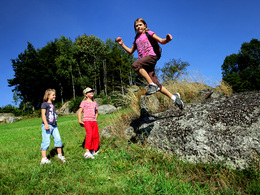
From Hirschalm - along the pilgrims' path to Hinterberger - Stöck - continue to Augenbründl - Brombeer - Wackelstein (rock block, wool sack weathering, marvellous view) - Kroneder - Schmidhofer - Königswiesen
Most economical season
- Summer
Please get in touch for more information.
4280 Königswiesen
Phone +43 7955 6255
Fax machine +43 7955 6255 - 32
E-Mail marktgemeinde@koenigswiesen.at
Web www.koenigswiesen.at
http://www.koenigswiesen.at
Interactive elevation profile
Create PDF
Tour-Details
Starting place: 4280 Königswiesen
Destination: 4280 Königswiesen
duration: 3h 0m
length: 8,0 km
Altitude difference (uphill): 177m
Altitude difference (downhill): 453m
Lowest point: 601m
Highest point: 884m
difficulty: medium
condition: medium
panoramic view: Individual Views
Paths covering:
Hiking trail
powered by TOURDATA