

Kulturschätzer Tour


- Flatly
Interactive elevation profile
Create PDF
Tour-Details
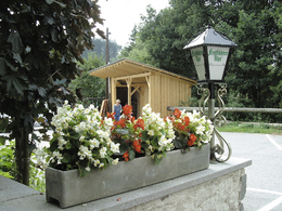
Starting place: 4212 Neumarkt im Mühlkreis
Destination: 4212 Neumarkt im Mühlkreis
duration: 7h 13m
length: 81,5 km
Altitude difference (uphill): 2.142m
Altitude difference (downhill): 2.147m
Lowest point: 457m
Highest point: 850m
difficulty: easy
condition: medium
panoramic view: Great panorama
Paths covering:
Asphalt, Hiking trail
powered by TOURDATA
Culture Appreciator Tour
Day 1:
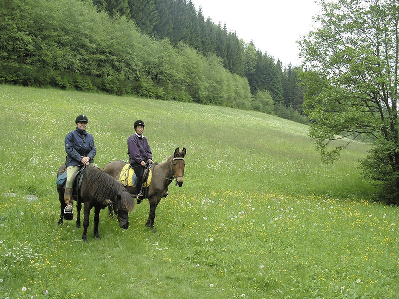
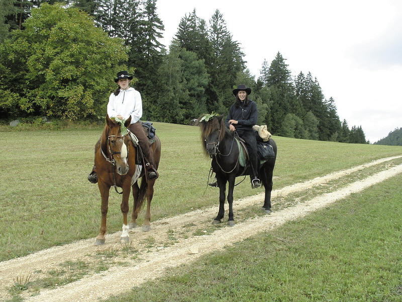
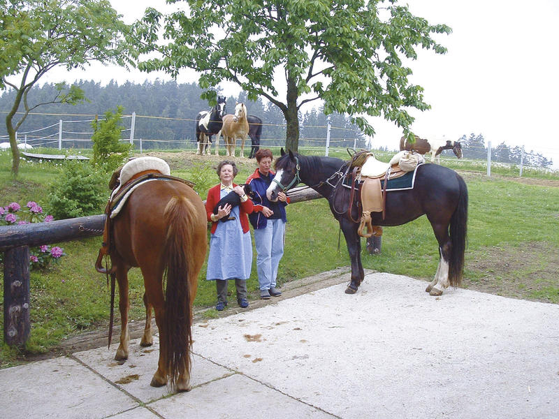
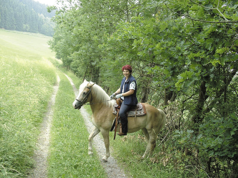
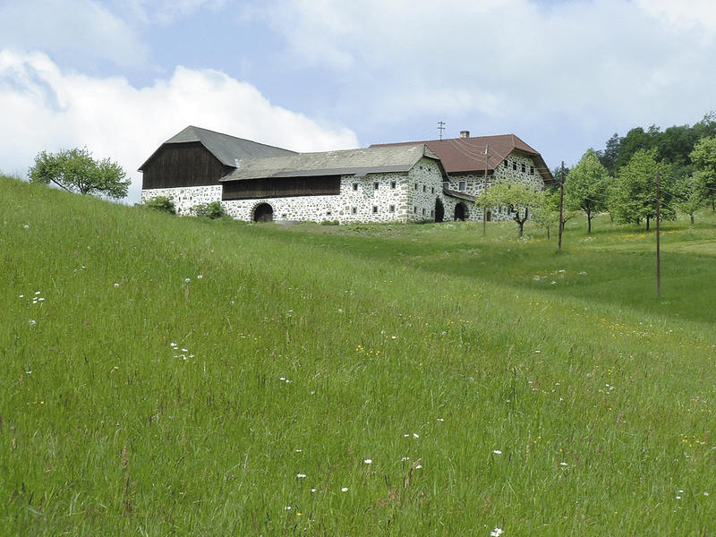
The tour starts at the Prandstetterhof riding centre (640 m above sea level) in Neumarkt and leads through the village on the PEB hiking trail, crossing the former route of the PEB, downhill into the valley of the Kleine Gusen. The bridleway runs for 5 km (1 km of which is tarmac) through the wide valley of the Kleine Gusen. From km 8 to 10 - past impressive Steinbloßhöfe - you have to climb 100 metres above sea level on beautiful natural paths. From Auerbach (km 12; 690 m) half a kilometre along the road to Hirschbach (footpath can be used), then through the forest to Kirchberg. In Kirchberg (km 14; 740 m) half a kilometre along the GW with little traffic, the last 5 km along beautiful natural paths through fields and forests to the Desl riding hostel (km 19; 700 m).
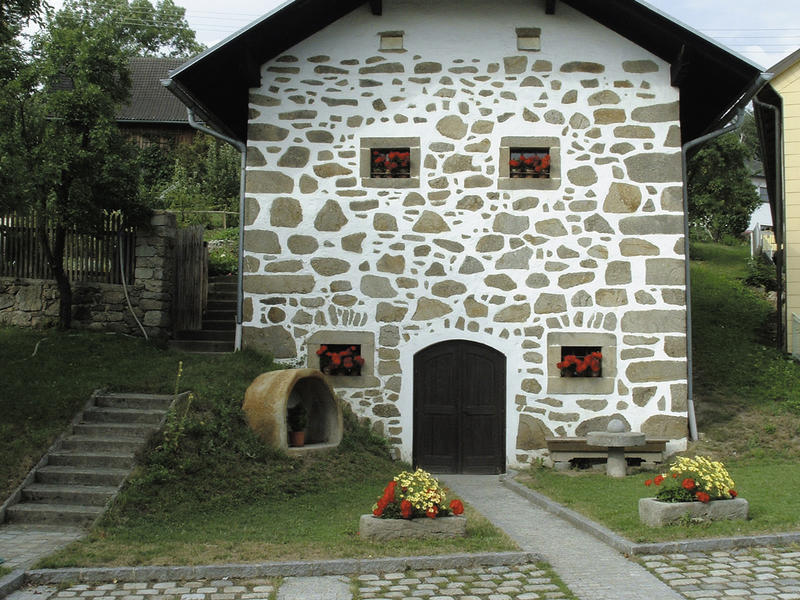
Sights along the bridleway: former PEB route, PEB guardhouse, cider museum in Trosselsdorf (1km detour), late Gothic altars in Waldburg, Gothic treasures in Hirschbach parish church, Hirschbach farmhouse furniture museum
Member businesses along the bridleway: RR Miesenberger in Trosselsdorf (km 4.5)
Day 2:
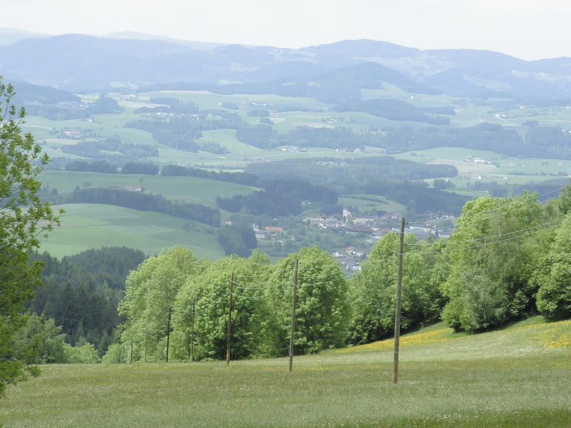
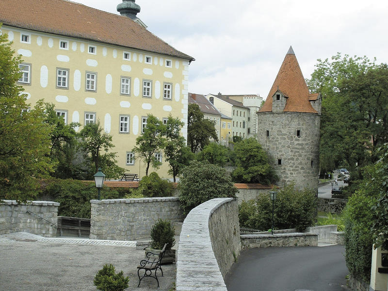
From Reiterherberge Desl (altitude 700m) 3 km on the beautiful NW to Trölsberg. From there 4 km along the GW to the town walls of medieval Freistadt. This is followed by 7 km of meadow and forest paths via the Lasberger Alm (750 m above sea level) along the Nordwaldkammweg with magnificent views of Freistadt, Lasberg and St. Michael ob Rauchenödt. From the 14th kilometre onwards, the forest path leads downhill to the Lasberg/St. Oswald road. On the last 3 km, you have to climb 170 metres above sea level on forest and meadow paths and a short section of gravel road to the Hiaslbauer riding hostel at the foot of the Braunberg (km 19; 750 m).
Sights along the bridleway: Freistadt, Hofbauerkapelle chapel, farm ruins
Member businesses along the bridleway: RR Eibensteiner in Trölsberg, Hiaslbauer riding hostel in Grensberg
Day 3:
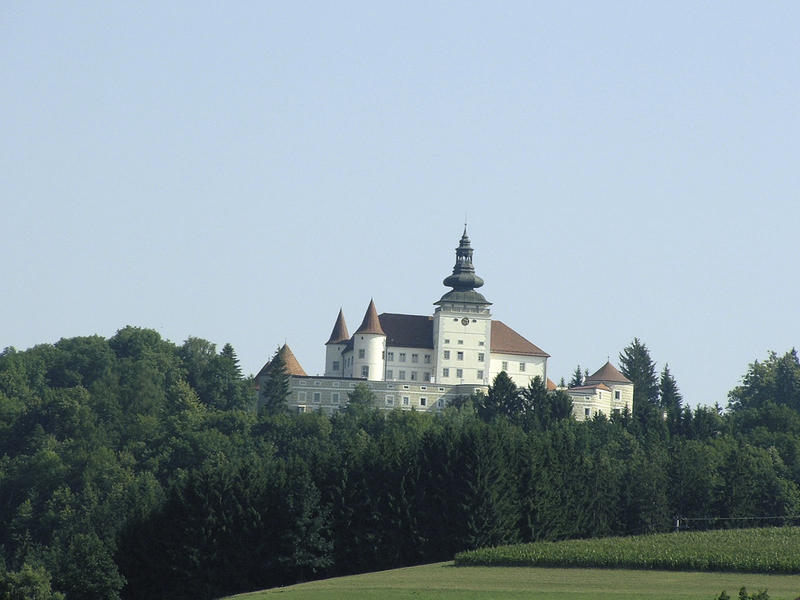
From Hiaslbauer the last 3 km from the previous day back again and towards Lasberg to Punkenhof (km 3.5; 590 m). From there partly NW, partly GW past Spiralschmiede and Pilbergergut to Weinberg Castle (km 7; 570 m). 1 km downhill through the village to Kefermarkt railway station, then 2.5 km on the NW along the Feldaist. The following 2 km climb 180 m above sea level, first on the GW, then NW. Up to the Gutau sports ground (km 17.5; 540 m), 2/3 of the bridleway runs along the low-traffic GW. From the sports ground on the NW uphill to Gutau, through the village and along the GW Falbenstein to the first-class Haunschmid horse hostel (km 20; 600 m) (co-operation with GH Resch in the village).
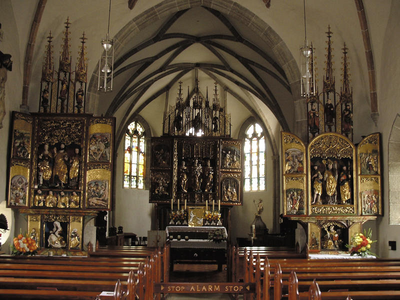
Places of interest along the bridle path: Spiralschmiede, Pilbergergut, Weinberg Castle, Kefermarkt winged altar
Member establishments along the bridleway: RR Schloss Weinberg, Resch riding hostel in Gutau, Haunschmid horse hostel in Gutau, Stamperlrast riding hostel in Gutau
Day 4:
From Gutau on beautiful forest paths to the RR Beim Scharti in Erdmannsdorf (km 5.5; 670 m). On the meadow path through the beautiful Flanitztal valley, then 1.5 km on the GW to the Hiaslbauer riding hostel (km 11; 750 m). As on the previous day to the Spiralschmiede (km 16; 640 m). From there on NW downhill to the RR Zur Haltestelle with very good connection possibilities (km 18; 500 m). On NW and ZW to the road to Lest and 800 m along the road. The last 3 km on beautiful NW evenly uphill to the Reiterhof Prantstetterhof (km 24; 640 m).
Day 1:
The tour starts at the Prandstetterhof riding centre (640 m above sea level) in Neumarkt and leads through the village on the PEB hiking trail, crossing the former route of the PEB, downhill into the valley of the Kleine Gusen. The bridleway runs for 5 km (1 km of which is tarmac) through the wide valley of the Kleine Gusen. From km 8 to 10 - past impressive Steinbloßhöfe - you have to climb 100 metres above sea level on beautiful natural paths. From Auerbach (km 12; 690 m) half a kilometre along the road to Hirschbach (footpath can be used), then through the forest to Kirchberg. In Kirchberg (km 14; 740 m) half a kilometre along the GW with little traffic, the last 5 km along beautiful natural paths through fields and forests to the Desl riding hostel (km 19; 700 m).
Sights along the bridleway: former PEB route, PEB guardhouse, cider museum in Trosselsdorf (1km detour), late Gothic altars in Waldburg, Gothic treasures in Hirschbach parish church, Hirschbach farmhouse furniture museum
Member businesses along the bridleway: RR Miesenberger in Trosselsdorf (km 4.5)
Day 2:
From Reiterherberge Desl (altitude 700m) 3 km on the beautiful NW to Trölsberg. From there 4 km along the GW to the town walls of medieval Freistadt. This is followed by 7 km of meadow and forest paths via the Lasberger Alm (750 m above sea level) along the Nordwaldkammweg with magnificent views of Freistadt, Lasberg and St. Michael ob Rauchenödt. From the 14th kilometre onwards, the forest path leads downhill to the Lasberg/St. Oswald road. On the last 3 km, you have to climb 170 metres above sea level on forest and meadow paths and a short section of gravel road to the Hiaslbauer riding hostel at the foot of the Braunberg (km 19; 750 m).
Sights along the bridleway: Freistadt, Hofbauerkapelle chapel, farm ruins
Member businesses along the bridleway: RR Eibensteiner in Trölsberg, Hiaslbauer riding hostel in Grensberg
Day 3:
From Hiaslbauer the last 3 km from the previous day back again and towards Lasberg to Punkenhof (km 3.5; 590 m). From there partly NW, partly GW past Spiralschmiede and Pilbergergut to Weinberg Castle (km 7; 570 m). 1 km downhill through the village to Kefermarkt railway station, then 2.5 km on the NW along the Feldaist. The following 2 km climb 180 m above sea level, first on the GW, then NW. Up to the Gutau sports ground (km 17.5; 540 m), 2/3 of the bridleway runs along the low-traffic GW. From the sports ground on the NW uphill to Gutau, through the village and along the GW Falbenstein to the first-class Haunschmid horse hostel (km 20; 600 m) (co-operation with GH Resch in the village).
Places of interest along the bridle path: Spiralschmiede, Pilbergergut, Weinberg Castle, Kefermarkt winged altar
Member establishments along the bridleway: RR Schloss Weinberg, Resch riding hostel in Gutau, Haunschmid horse hostel in Gutau, Stamperlrast riding hostel in Gutau
Day 4:
From Gutau on beautiful forest paths to the RR Beim Scharti in Erdmannsdorf (km 5.5; 670 m). On the meadow path through the beautiful Flanitztal valley, then 1.5 km on the GW to the Hiaslbauer riding hostel (km 11; 750 m). As on the previous day to the Spiralschmiede (km 16; 640 m). From there on NW downhill to the RR Zur Haltestelle with very good connection possibilities (km 18; 500 m). On NW and ZW to the road to Lest and 800 m along the road. The last 3 km on beautiful NW evenly uphill to the Reiterhof Prantstetterhof (km 24; 640 m).
further information:
- Flatly
Details riding
- Area: medium
- Good riding experience: easy
- Accommodations for riders
Most economical season
- Summer
Please get in touch for more information.
Summerauerstraße 1
4261 Rainbach im Mühlkreis
Phone +43 7942 6316
mobile +43 664 5001297
E-Mail reiterhof.stoeglehner@gmx.at
Web www.reit-erlebnis-akademie.at
Web www.muehlviertel-urlaub.at/reiten
http://www.reit-erlebnis-akademie.at
http://www.muehlviertel-urlaub.at/reiten
http://www.muehlviertel-urlaub.at/reiten
Interactive elevation profile
Create PDF
Tour-Details
Starting place: 4212 Neumarkt im Mühlkreis
Destination: 4212 Neumarkt im Mühlkreis
duration: 7h 13m
length: 81,5 km
Altitude difference (uphill): 2.142m
Altitude difference (downhill): 2.147m
Lowest point: 457m
Highest point: 850m
difficulty: easy
condition: medium
panoramic view: Great panorama
Paths covering:
Asphalt, Hiking trail
powered by TOURDATA