Sturmgut - Fröstlalm - Hutterer Böden
Path number: 6,25
Starting place: 4573 Hinterstoder
Destination: 4573 Hinterstoder
Hinterstoder 38
4573 Hinterstoder
4573 Hinterstoder

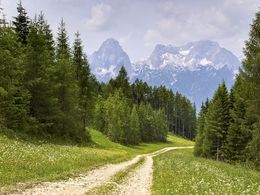
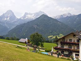
Hike from the Sturmgut in Hinterstoder via the Fröstlalm to the Hutterer Böden.
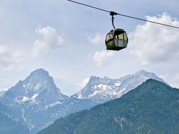
From the Sturmgut in Hinterstoder about ½ hr on trail nr. 6 up to a fork on the road above the ski pistes. Turn left uphills, left again going further up along a forest road to the Fröstlalm alpine pasture.Via an alpine floor and follow the signs nr. 25, leaving the alpine floor behind you to your left, where you get to a forest, crossing the toll road once and returning back on it shortly below the turn off to Edtbauernalm. Follow the direction to the Edtbauernalm pasture for a short while before turning off again uphills and leading through a forest further down until you get to the flat Hutterer Böden not far from the Provinical Youth Hostel and the Edtbauernalm. Return the same way or take the cable car.
Trail-Nr: 6, 25
Path number: 6,25
Starting place: 4573 Hinterstoder
Destination: 4573 Hinterstoder
duration: 2h 30m
length: 3,8 km
Altitude difference (uphill): 617m
Lowest point: 756m
Highest point: 1.373m
difficulty: medium
condition: medium
panoramic view: Some Views
Paths covering:
Gravel, Hiking trail
Starting point: Sturmgut
further information:
- Board possible
Accessibility / arrival
The starting point is the Berghof Sturmgut Hinterstoder.
parking:
Parking at the Hösshalle (surcharge)
large car park at the beginning of Hinterstoder
Climb up to the Berghof Sturmgut about 3/4 hour walk.
2 hours € 2.00 1 day € 3.00 2 to max. 7 days € 5.00 Annual ticket € 20.00
Most economical season
- Spring
- Summer
- Autumn
Please get in touch for more information.
Hinterstoder 38
4573 Hinterstoder
Phone +43 7564 5263 - 99
Fax machine +43 7564 5263 - 30
E-Mail hinterstoder@pyhrn-priel.net
Web www.urlaubsregion-pyhrn-priel.at/
https://www.urlaubsregion-pyhrn-priel.at/


