Through the Salzatal valley onto the Wurbauerkogel mountain
Path number: 1,6
Starting place: 4580 Windischgarsten
Destination: 4580 Windischgarsten
Bahnhofstraße 2
4580 Windischgarsten
4580 Windischgarsten

Starting poin is the former tannery Purgleitner in Linzerstraße (street) of Windischgarsten. From here the road leads past the old age home to the Kalvarienberg mountain.
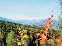
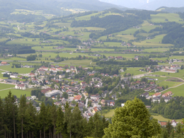
The starting point is the Tourist Information in the main road 28 - between this House and the Cafe Grass Ecker, turn into the Fischergasse, go over the bridge of Dambach and follow the signs that will lead subsequently into the valley at the Salza along creek. In a turn arrived, they wander right towards "Patzl" on. In now narrowing Salzatal they follow the path along the stream in front of the cabin Salza hut you turn right and can choose between the ascending in sweeping forest road or a slightly steeper, well laid out path which crosses the forest road several times. Both paths to choose from, they lead to a forest saddle, from here they migrate either along the forest road or the trail, (the roads lead to several hundred meters along) - by fellings & a Hochwald. Walk along the trail you will reach the "homestead Great Little". From here you walk on a road that runs slightly uphill, towards the mountain station chair lift Wurbauerkogel where you can enjoy the magnificent panorama. On the way back into the valley they can deny a number of ways: see the following listed Routing 1 to 6 and 8 (in the opposite direction).Falsch Path number: 1,6
Starting place: 4580 Windischgarsten
Destination: 4580 Windischgarsten
duration: 2h 52m
length: 8,4 km
Altitude difference (uphill): 388m
Altitude difference (downhill): 387m
Lowest point: 599m
Highest point: 855m
difficulty: medium
condition: medium
panoramic view: Some Views
Paths covering:
Asphalt, Gravel, Hiking trail
Starting point: former tannery Purgleitner
further information:
- Board possible
Accessibility / arrival
Center of Windischgarsten
Most economical season
- Spring
- Summer
- Autumn
Please get in touch for more information.
Bahnhofstraße 2
4580 Windischgarsten
Phone +43 7562 5266
Fax machine +43 7562 5266 - 10
E-Mail info@pyhrn-priel.net
Web www.urlaubsregion-pyhrn-priel.at/
https://www.urlaubsregion-pyhrn-priel.at/


