Garstnereck-CircularHiking Trail and connection Ridge Trail Nr. 13 to Spital am Pyhrn
Path number: 11, 218
Starting place: 4580 Windischgarsten
Destination: 4580 Windischgarsten
Bahnhofstraße 2
4580 Windischgarsten
4580 Windischgarsten

Garstnereck-CircularHiking Trail and connection Ridge Trail Nr. 13 to Spital am Pyhrn
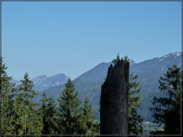
Village of Windischgarsten – Sparkasse (bank)– post office – road towards trainstation – turn left at trainstation – Garstnereckstraße – parking area trail nrs. 11/13 uphills through the forest to the Garstnereck-Ridge– Schusterhansl-Chapel – back to forest path on the hill to parking area – connection ridge trail nr. 14 to Spital am Pyhrn.Trail-Nr: 11
Path number: 11, 218
Starting place: 4580 Windischgarsten
Destination: 4580 Windischgarsten
duration: 1h 39m
length: 5,5 km
Altitude difference (uphill): 153m
Altitude difference (downhill): 146m
Lowest point: 598m
Highest point: 711m
difficulty: easy
condition: easy
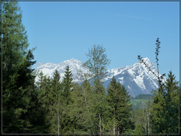
panoramic view: Some Views
Paths covering:
Asphalt, Hiking trail
Starting point: Marketplace Windischgarsten
Destination: Marketplace Windischgarsten
further information:
- Flatly
- Board possible
Accessibility / arrival
Marketplace in the center of Windischgarsten!
Most economical season
- Spring
- Summer
- Autumn
Please get in touch for more information.
Bahnhofstraße 2
4580 Windischgarsten
Phone +43 7562 5266
Fax machine +43 7562 5266 - 10
E-Mail info@pyhrn-priel.net
Web www.urlaubsregion-pyhrn-priel.at
https://www.urlaubsregion-pyhrn-priel.at


