High Trail to Spital am Pyhrn
Path number: 11, 13
Starting place: 4580 Windischgarsten
Destination: 4582 Spital am Pyhrn
Bahnhofstraße 2
4580 Windischgarsten
4580 Windischgarsten

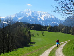
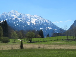
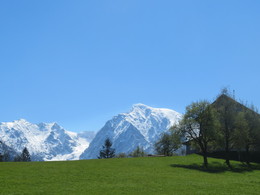
The trail takes you from the center of Windischgarsten to Spital am Phyrn.
Ascent via trail nr 11 close to Windischgarsten – continue aong trail nr. 13: farmhouses Salomon, Helmlwiese, cross the road – uphills to the houses Schmalzbichler – Plötschl – Egger –continue along saddle ridge to Steinergütl – left downhills to trainstation Spital am Pyhrn.Trail-Nr: 13
Path number: 11, 13
Starting place: 4580 Windischgarsten
Destination: 4582 Spital am Pyhrn
duration: 2h 59m
length: 9,4 km
Altitude difference (uphill): 341m
Altitude difference (downhill): 299m
Lowest point: 599m
Highest point: 756m
difficulty: easy
condition: easy
panoramic view: Individual Views
Paths covering:
Hiking trail
Starting point: Marketplace Windischgarsten
Destination: Center at Spital am Pyhrn
further information:
- Board possible
Accessibility / arrival
Marketplace in Windischgarsten
Most economical season
- Spring
- Summer
- Autumn
Please get in touch for more information.
Bahnhofstraße 2
4580 Windischgarsten
Phone +43 7562 5266
Fax machine +43 7562 5266 - 10
E-Mail info@pyhrn-priel.net
Web www.urlaubsregion-pyhrn-priel.at
https://www.urlaubsregion-pyhrn-priel.at


