Hochkogel in Ebensee
Starting place: 4802 Ebensee
Destination: 4802 Ebensee

information: Akutmeldung/Sperre
Description: Note: During the hunting season (September 15th - October 10th every year) the barrier at power plant of the Energie-AG is closed. This means that you should add around 20 minutes to the walking time from the barrier to the starting point of the tour, the Schwarzenbach gravel parking lot.
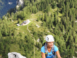
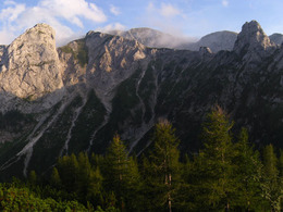
A varied steep track and an amazing "postcard panorama" - these are the reasons, why the Hochkogel a fantastic destination is.
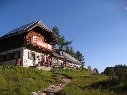
Hiking-time: parking lot - Hochkogelhaus: approximately 3 hours
Starting place: 4802 Ebensee
Destination: 4802 Ebensee
duration: 3h 15m
length: 5,7 km
Altitude difference (uphill): 1.108m
Altitude difference (downhill): 119m
Lowest point: 519m
Highest point: 1.591m
difficulty: medium
condition: difficult
panoramic view: Great panorama
Paths covering:
Hiking trail
Starting point: parking lot "Schwarzenbach"
Destination: Ebensee's Hochkogel
further information:
- Possible accommodation
Accessibility / arrival
from the highway-departure Regau-B 145 in the direction of Bad Ischl-departure Offensee- till parking lot "Schwarzenbach"
Most economical season
- Spring
- Summer
- Autumn
Please get in touch for more information.
4802 Ebensee
Phone +43 6133 8016
E-Mail ebensee@traunsee-almtal.at
Web www.ebensee.com
Web www.traunsee-almtal.at
http://www.ebensee.com
http://www.traunsee-almtal.at
http://www.traunsee-almtal.at


