© Foto: Oberösterreich Tourismus GmbH/Robert Maybach: Gesellige Runde am Wolfgangsee
Gruppe junger Menschen auf einem Steg am Wolfgangsee

Drudenfußrunde

  • pets allowed
  • All weather
  • Suitable for pushchairs
  • Suitable for kids (all ages)
  • Flatly

 Interactive elevation profile

Download GPS data
Create PDF

Tour-Details

Path number: 1
Starting place: 4654 Bad Wimsbach-Neydharting
Destination: 4654 Bad Wimsbach-Neydharting

length: 2,5 km
Altitude difference (uphill): 21m
Altitude difference (downhill): 29m

Lowest point: 375m
Highest point: 407m
difficulty: very easy
condition: very easy
panoramic view: Individual Views

Paths covering:
Hiking trail

powered by TOURDATA

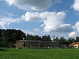
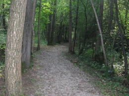
A striking symbol is the five-pointed Drude's foot. An ancient sign of healing, but only when the pentagram stands on two points. From the spa restaurant at the rear, a serpentine path bordered by a railing leads up to the Jungschützendenkmal. A beautiful view over the spa complex and the moor awaits you here.
Parking
  • Parking space: 50
Travelling by public transport
Route planner for independent travellers
  • All weather
  • Suitable for groups
  • Suitable for schools
  • Suitable for kids (all ages)
  • Suitable for pushchairs
  • Pets allowed
Most economical season
  • Spring
  • Summer
  • Autumn
  • Early winter

Please get in touch for more information.


Drudenfußrunde
Marktgemeinde Bad Wimsbach Neydharting
Markt 1
4645 Grünau im Almtal

Phone +43 7245 25055 - 0
E-Mail almtal@traunsee-almtal.at
Web www.bad-wimsbach.at
Web www.traunsee-almtal.at
http://www.bad-wimsbach.at
https://www.traunsee-almtal.at

We speak the following languages

German
English

 Interactive elevation profile

Download GPS data
Create PDF

Tour-Details

Path number: 1
Starting place: 4654 Bad Wimsbach-Neydharting
Destination: 4654 Bad Wimsbach-Neydharting

length: 2,5 km
Altitude difference (uphill): 21m
Altitude difference (downhill): 29m

Lowest point: 375m
Highest point: 407m
difficulty: very easy
condition: very easy
panoramic view: Individual Views

Paths covering:
Hiking trail

powered by TOURDATA