Schweizersberg - Gallbrunn - Roßleithen
Path number: 16b
Starting place: 4575 Roßleithen
Destination: 4575 Roßleithen
Hauptstraße 28
4575 Roßleithen
4575 Roßleithen

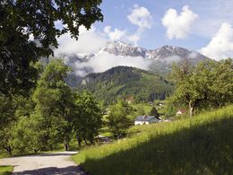
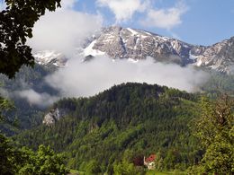
Hike from the Schweizersberg in Rossleithen to Gallbrunn country café and on to the town of Rossleithen and Gasthaus Sengsschmied.
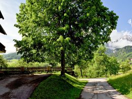
Hangweg path: between Stadler (Schober) and Wollführer (Herndl) flat meadow path to Jausenstation Gallbrunn (Aigner), then slightly descending tar road to RoßleithenTrail-Nr: 16b
Path number: 16b
Starting place: 4575 Roßleithen
Destination: 4575 Roßleithen
duration: 1h 0m
length: 2,7 km
Altitude difference (uphill): 71m
Lowest point: 617m
Highest point: 711m
difficulty: very easy
condition: very easy
panoramic view: Some Views
Paths covering:
Asphalt, Hiking trail
Starting point: Schweizersberg in Roßleithen at the car dealership Zemsauer.
Destination: GH Sengsschmied in Roßleithen
further information:
- Board possible
Accessibility / arrival
by car:
From the north on the A9 direction Graz - exit Roßleithen, from the south on the A9 direction Linz departure Roßleithen.
by train:
Pyhrnbahn (Linz - Graz) stop Windischgarsten
Most economical season
- Summer
Please get in touch for more information.
Hauptstraße 28
4575 Roßleithen
Phone +43 7562 5266 - 99
Fax machine +43 7562 5266 - 10
E-Mail info@pyhrn-priel.net
Web www.urlaubsregion-pyhrn-priel.at/
https://www.urlaubsregion-pyhrn-priel.at/


