Rainbacher Radrunde Nr. 903
Path number: 903
Starting place: 4261 Rainbach im Mühlkreis
Destination: 4261 Rainbach im Mühlkreis
Prager Straße 5
4261 Rainbach im Mühlkreis
4261 Rainbach im Mühlkreis

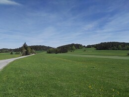
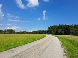
This route leads through the hilly Mühlviertel landscape. Passing forests and meadows, the tour offers plenty of opportunities for recreation. The route is signposted in both directions. It can be combined with the borderland cycle tour no. 905.
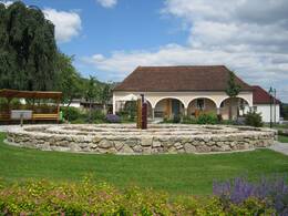
This short route leads towards Summerau in the Kranklau, past Summerau railway station to Zulissen. You return to Rainbach via Deutsch Hörschlag and HeiligenbergTip: Horse Railway Museum and Village Art in Rainbach
Path number: 903
Starting place: 4261 Rainbach im Mühlkreis
Destination: 4261 Rainbach im Mühlkreis
duration: 0h 57m
length: 12,3 km
Altitude difference (uphill): 187m
Altitude difference (downhill): 187m
Lowest point: 650m
Highest point: 740m
difficulty: easy
condition: easy
panoramic view: Some Views
Paths covering:
Asphalt
Starting point: Marketplace Rainbach im Mühlkreis
Destination: Marketplace Rainbach im Mühlkreis
further information:
- culinary interesting
- Flatly
- Possible accommodation
- Board possible
Accessibility / arrival
by car:
from Vienna: take the A1 to the Regau exit and turn right
from Salzburg: take the Seewalchen exit and turn left
approx. 10 km to Vöcklabruck
by train:
Westbahn - Vöcklabruck station
- Free entry
- Suitable for teenagers
- Suitable for seniors
- Suitable for single travelers
- Suitable for families
- Suitable for friends
- Suitable for children
- Spring
- Summer
- Autumn
Please get in touch for more information.
Prager Straße 5
4261 Rainbach im Mühlkreis
Phone +43 7949 6255
E-Mail tourismus@rainbach.at
Web www.rainbach.at/
Web www.muehlviertel-urlaub.at/rad
https://www.rainbach.at/
http://www.muehlviertel-urlaub.at/rad
http://www.muehlviertel-urlaub.at/rad


