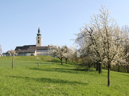
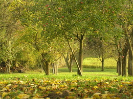
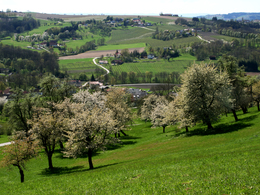
Kronbergrundweg
Path number: 15
Starting place: 4612 Scharten
Destination: 4612 Scharten
Scharten 60
4612 Scharten
4612 Scharten

Path type: partly meadow paths.
Route: Scharten - behind the primary school along the sports field towards "Grüblbauer" - left past the farm to "Grubergut" - left into the meadow path - up to the goods road - turn left towards Schartener Landesstraße - cross the road - after approx. 50 m turn right onto Schartener Höhenstraße back into the village of Scharten
Map available Mon. - Fri. during office hours at the nature park office and at both municipal offices in Scharten and St. Marienkirchen.
- Suitable for kids (all ages)
- Suitable for families
- Spring
- Summer
- Autumn
Please get in touch for more information.
Scharten 60
4612 Scharten
Phone +43 7249 47112 - 25
E-Mail info@obsthuegelland.at
Web www.obsthuegelland.at
http://www.obsthuegelland.at


