R204 Triftweg von Lengau - Schneegattern bis Hagenau - Braunau
Starting place: 5280 St. Peter am Hart
Destination: 5280 Braunau am Inn
Theatergasse 3
5280 Braunau am Inn
5280 Braunau am Inn

On the way in Mattigtal
9 communities on one route, from the "village square" in Schneegattern the route leads via Munderfing - Mattighofen - Schalchen - Helpfau-Uttendorf - Mauerkirchen - Burgkirchen - Braunau - St. Peter - "Hagenau".
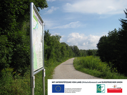
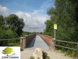
The timber drift was organised by the royal Bavarian government from 1765 to 1897. The timber was transported from the Kobernaußerwald forest from Schneegattern to Hagenau using the power of water. From Hagenau, the timber was transported by ship via the Inn and Danube towards Passau, Linz and Vienna. There are many cultural sites and sights, recreational areas and places to stop for refreshments and overnight accommodation along this route.
There are no major ascents to overcome over long stretches, making the Triftweg ideal for families.
Route descriptions are available in all 9 municipal offices.
- Suitable for groups
- Suitable for families
- Spring
- Summer
- Autumn
Please get in touch for more information.
Theatergasse 3
5280 Braunau am Inn
Phone +43 7722 62644
E-Mail info@entdeckerviertel.at
Web www.entdekcerviertel.at
http://www.entdekcerviertel.at


