Malerweg and Riedersteig
Path number: Alle Neune - Tour 7
Starting place: 5360 St. Wolfgang im Salzkammergut
Destination: 5360 St. Wolfgang im Salzkammergut

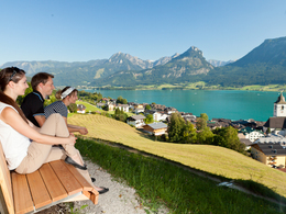
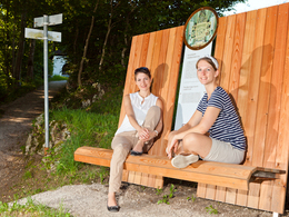
Via the wonderful Malersteig and Riedersteig past the Calvary Church of St. Wolfgang.
Path number: Alle Neune - Tour 7
Starting place: 5360 St. Wolfgang im Salzkammergut
Destination: 5360 St. Wolfgang im Salzkammergut
duration: 0h 51m
length: 2,8 km
Altitude difference (uphill): 87m
Altitude difference (downhill): 88m
Lowest point: 573m
Highest point: 639m
difficulty: easy
condition: easy
panoramic view: Some Views
Paths covering:
Gravel
Starting point: Market square St. Wolfgang
Destination: Market square St. Wolfgang
further information:
- Flatly
- Board possible
Parking
- Parking space: 200
- Garage-parking: 100
- Parking area for disabled: 2
- Bus parking space: 10
- Suitable for groups
- Suitable for schools
- Suitable for kids (3 - 6 Year)
- Suitable for single travelers
- Suitable for families
- Suitable for friends
- Suitable for couples
- Suitable for children
- Spring
- Summer
- Autumn
Please get in touch for more information.
5360 St. Wolfgang im Salzkammergut
Phone +43 6138 8003
Fax machine +43 6138 8003 - 81
E-Mail info@wolfgangsee.at
Web wolfgangsee.salzkammergut.at
https://wolfgangsee.salzkammergut.at


