Weg des Buches Pilgerweg (pilgrimage “path of the books”) Upper Austria
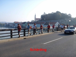
Starting place: 4780 Schärding
Destination: 4825 Gosau
Severin-Schreiber-Gasse 1-3
1180 Wien
1180 Wien

roadblock: Sperre von Mittich/Mattau bis Tennisplatz Neuhaus a.Inn
Time period: 20.01.2025 - 30.06.2027 Paths of the past were hidden and mysterious. Along old trade routes, you can cross all of Upper Austria. From Ebensee, salt was transported on foot towards Germany. On the return journey, books were smuggled.
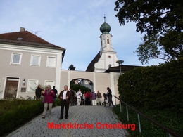
- Vilshofen-Ortenburg 16 km
- Ortenburg - Schärding 23,5 km
- Schärding - St. Willibald 28 km
- St. Willibald - Peuerbach - St. Agatha 28 km
- St. Agatha - Eferding 23 km
- Eferding - Scharten - Wallern 24,5 km
- Route a Wallern - Wels 13 km
Route b Wels - Lambach 16 km - Lambach - Schwanenstadt - Rutzenmoos 23 km
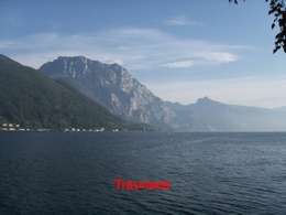
- Rutzenmoos - Altmünster - Ebensee 28 km
Starting place: 4780 Schärding
Destination: 4825 Gosau
duration: 83h 45m
length: 294,9 km
Altitude difference (uphill): 6.285m
Altitude difference (downhill): 4.907m
Lowest point: 260m
Highest point: 1.717m
difficulty: medium
condition: medium
panoramic view: Great panorama
Paths covering:
Asphalt, Hiking trail
Destination: The trail then continues via Schladming to Ramingstein via Bad Kleinkirchheim to Kärnten (Carinthia) and into the town of Agoritschach.
further information:
- Multi-day tour
Details - hiking
- themed path
General price information
Furthermore, there is a hiking brochure about the “Weg des Buches”. The price is € 5.00, shipping costs € 1.50. You can order it at the following address:
Evangelische Kirche A.B. Österreich
Charlotte Matthias
Severin-Schreiber-Gasse 3
1180 Wien
Phone: +43 1 4791523 111
Email: c.matthias@evang.at
Most economical season
- Spring
- Summer
- Autumn
Please get in touch for more information.
Severin-Schreiber-Gasse 1-3
1180 Wien
Phone +43 1 4791523
E-Mail office@okr-evang.at
Web www.wegdesbuches.at
http://www.wegdesbuches.at


