Haubenbergweg
Path number: S10
Starting place: 4251 Sandl
Destination: 4251 Sandl
Sandl 28
4251 Sandl
4251 Sandl

A border-crossing hiking experience near the Czech border
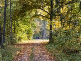
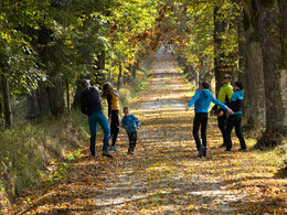
Town square - Graben village - Gstöttner Winkel chapel - Haubenberg - national border - detour to Kamenec (1069m) in the Czech Republic possible - Lindenallee - large Rosenhof pond - Hengstberg - Kohlstatt - return to Sandl
A wide range of maps and information material is available at the municipal office, at the information point on the town square, at the Sandl inns, at the Raiffeisenbank Sandl and at the SPAR department stores' in Sandl.
Path number: S10
Starting place: 4251 Sandl
Destination: 4251 Sandl
duration: 2h 30m
length: 9,0 km
Altitude difference (uphill): 210m
Altitude difference (downhill): 210m
Lowest point: 894m
Highest point: 1.039m
difficulty: easy
condition: easy
panoramic view: No view
Paths covering:
Asphalt, Gravel
Starting point: Community square
Destination: Community square
further information:
- Flatly
Accessibility / arrival
Coming from Linz via the A7 and S10 - exit Grünbach/Sandl - then continue on the B38 towards Sandl. Parking facilities in the town center
Parking- Parking space: 18
- Parking area for disabled: 1
- Charging point for electric cars (fees apply)
- Charging point for e-bikes (free of charge)
- Free entry
- Suitable for groups
- Suitable for schools
- Pets allowed
- Suitable for teenagers
- Suitable for seniors
- Suitable for single travelers
- Suitable for families
- Suitable for friends
- Suitable for couples
- Suitable for children
- Spring
- Summer
- Autumn
Please get in touch for more information.
other information
- Toilet facility for disabled people
Sandl 28
4251 Sandl
Phone +43 7944 81006
E-Mail office@gasthof-fleischbauer.at


