Wolfgang-Pilgerweg-Fußweg-Etappe 04

 Interactive elevation profile

Download GPS data
Create PDF

Tour-Details

Starting place: 84028 Landshut
Destination: 84137 Vilsbiburg

duration: 6h 12m
length: 23,8 km
Altitude difference (uphill): 245m
Altitude difference (downhill): 197m

Lowest point: 393m
Highest point: 522m
difficulty: medium
condition: difficult
panoramic view: Some Views

Paths covering:
Asphalt, Gravel, Hiking trail

powered by TOURDATA

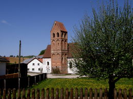
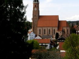
Stage 4 from Landshut to Vilsbiburg
The start of the trail is quite pleasant. From Götzdorf, however, the hiker has to use the road as far as Geisenhausen, and from Geisenhausen to Vilsbiburg the route is rather boring on tarmac. It is advisable to call Vilsbiburg to enquire about accommodation. If you can't find accommodation, you would have to stay in Geisenhausen and make the next stage longer.
Travelling by public transport
Route planner for independent travellers
  • Suitable for groups
  • Suitable for seniors
  • Suitable for single travelers
  • Suitable for friends
Most economical season
  • Spring
  • Summer
  • Autumn

Please get in touch for more information.


Wolfgang-Pilgerweg-Fußweg-Etappe 04
Wolfgangsee Tourimus Gesellschaft
Au 140
5360 St. Wolfgang im Salzkammergut

Phone +43 6138 8003
Fax machine +43 6138 8003 - 81
E-Mail info@wolfgangsee.at
Web www.wolfgangsee.at
http://www.wolfgangsee.at

We speak the following languages

German
English

 Interactive elevation profile

Download GPS data
Create PDF

Tour-Details

Starting place: 84028 Landshut
Destination: 84137 Vilsbiburg

duration: 6h 12m
length: 23,8 km
Altitude difference (uphill): 245m
Altitude difference (downhill): 197m

Lowest point: 393m
Highest point: 522m
difficulty: medium
condition: difficult
panoramic view: Some Views

Paths covering:
Asphalt, Gravel, Hiking trail

powered by TOURDATA