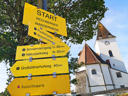
Weg Schartmühle
Path number: 3
Starting place: 4324 Rechberg
Destination: 4324 Rechberg
Rechberg 9
4324 Rechberg
4324 Rechberg

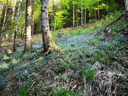
The circular route leads to the Naarn, past the Schartmühle and back to the village square with a side view of the Schwammerling.
Good footwear is recommended!
Path number: 3
Starting place: 4324 Rechberg
Destination: 4324 Rechberg
duration: 1h 24m
length: 4,5 km
Altitude difference (uphill): 148m
Altitude difference (downhill): 140m
Lowest point: 448m
Highest point: 592m
difficulty: medium
condition: medium
panoramic view: Individual Views
Paths covering:
Asphalt, Hiking trail
Starting point: Rechberg village square
Destination: Rechberg village square
further information:
- Flatly
Accessibility / arrival
A1 from Salzburg - exit Asten/St. Florian - Mauthausen - Perg - Naarntalstraße to Rechberg.
A1 from Vienna - exit Ybbs - Grein - Klam - Münzbach - Rechberg.
- Free entry
- Suitable for groups
- Suitable for teenagers
- Suitable for single travelers
- Suitable for families
- Suitable for friends
- Suitable for children
- Spring
- Summer
- Autumn
Not suitable for wheelchairs. The property is not compliant with Austria's ÖNORM legal standard.
Rechberg 9
4324 Rechberg
Phone +43 7264 4655
E-Mail gemeindeamt@rechberg.ooe.gv.at
Web www.rechberg.at/
https://www.rechberg.at/


