Fürlinger Runde
4293 Gutau

Route
Fürling - Aichinger - Jiritzhofer - Maria Bründl Bezirksstraße - Ruhmer access road = turn-off (GU 1) - Penglseder - Flanitz - Staninger - Pühringer Häuser - Biermayr - Zeilberger - Alter Kirchensteig - Fürling
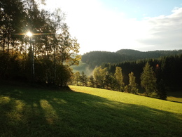
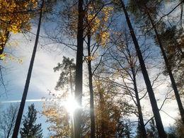
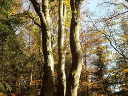
After refreshments at the inn on the Fürling, the Fürlinger Runde invites you to take an extended walk. At the end of the village, Güterweg Aichinger leads past a shingle-covered wayside shrine onto a forest and meadow path to Jiritzhofergut. After a stretch of tarmac and crossing the Maria Bründl district road, the Matzeneder (Staninger) access road leads on to the path, along the Flanitz and then uphill again to the Staninger. After 50 metres, turn left over the access road to Unterpühringer and then right to the Pühringer houses. After crossing Maria Bründlstraße, you reach the highest point of the hike with a marvellous view. Follow the forest road downhill and continue straight ahead at the bend through the forest to the Zeitlberger farmhouse. Turn right behind the house, cross the Klausbach stream and turn left along Güterweg Klaus back to the village of Fürling.
Paths covering:
further information:
- Flatly
- Experience of nature
- Spring
- Summer
- Autumn
Please get in touch for more information.
St. Oswalderstraße 2
4293 Gutau
Phone +43 7946 6255
E-Mail gemeinde@gutau.ooe.gv.at
Web www.gutau.at/tourismus-freizeit.htm…


