R7 Inntalrunde


- Flatly
Interactive elevation profile
Create PDF
Tour-Details
Starting place: 84359 Simbach am Inn
Destination: 84359 Simbach am Inn
duration: 2h 54m
length: 40,9 km
Altitude difference (uphill): 351m
Altitude difference (downhill): 349m
Lowest point: 339m
Highest point: 514m
powered by TOURDATA
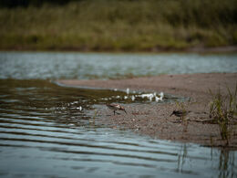
This circular trail leads past the Schellenberg into the hinterland of Simbach with its cultivated natural areas and back to the Inn and Simbach town centre. There are churches and bathing spots to discover along the way.
- Suitable for groups
- Suitable for seniors
- Suitable for single travelers
- Suitable for friends
- Suitable for couples
- Spring
- Summer
- Autumn
Please get in touch for more information.
5280 Braunau am Inn
Phone +43 7722 62644
E-Mail info@entdeckerviertel.at
Interactive elevation profile
Create PDF
Tour-Details
Starting place: 84359 Simbach am Inn
Destination: 84359 Simbach am Inn
duration: 2h 54m
length: 40,9 km
Altitude difference (uphill): 351m
Altitude difference (downhill): 349m
Lowest point: 339m
Highest point: 514m
powered by TOURDATA

