112 Tragwein round
Path number: 112
Starting place: 4284 Tragwein
Destination: 4284 Tragwein


Markt 33
4284 Tragwein
4284 Tragwein

The start is located directly on the market square in Tragwein, from here you ride through a narrow alley heading east, but you leave this after a few metres and can already enjoy the first beautiful trails.
You cycle up from a valley to Fraundorf on varied paths, use the country road for a short stretch and then hurtle down the next descent on gravel.From Schedlberg, you now have to master the first long climb, with around 150 meters of altitude to overcome, but you are rewarded with a stunning view of the mountains and a magnificent trail descent down into the Aisttal valley.
Past Hohensteg, a beautiful path leads up to Mistlberg, right next to the Edelbrennerei Moser distillery, a must for connoisseurs!
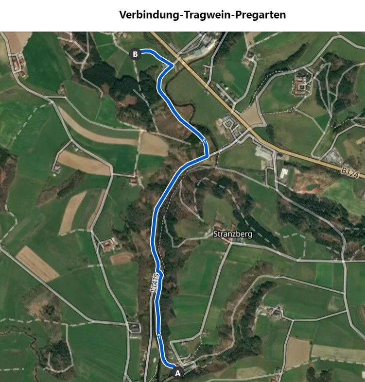
(Tip: A connecting route between Tragwein and the Pregarten loop leads from Hohensteg along the Aistweg. Halfway along the route, you cross the wooden bridge and follow the old Aisttal road towards Meitschenhof to the junction of the Pregartner Runde. This makes it possible to switch to the mountain bike route from Pregarten Tour No. 113).
The route continues briskly, always peppered with crisp climbs towards the highest point of the tour, where you can fortify yourself for the last few kilometers with hearty to sweet doughnut variations at the Bauernkrapfen-Schleiferei.
If you are too hungry or thirsty, the route takes you past the guest garden of Gasthaus Ratzenböck after just 2.5 km.
The last few kilometers go by in no time at all, with a constant alternation of different paths and after a final steep climb up to Tragwein, you rush the last few meters past the Tragwein bathing lake back to the starting point.
Around 53% of the route is on natural trails, while the remaining 47% is on paved paths and asphalt (20%).
Nature is always there for us. So it is only fair that we are there for nature too.
Please observe the fair play rules for mountain biking!
Path number: 112
Starting place: 4284 Tragwein
Destination: 4284 Tragwein
duration: 2h 51m
length: 32,6 km
Altitude difference (uphill): 827m
Altitude difference (downhill): 825m
Lowest point: 313m
Highest point: 651m
difficulty: medium
condition: medium
panoramic view: Some Views
Paths covering:
Asphalt, Path / trail, Gravel, Other
Starting point: Tragwein marketplace
Destination: Tragwein marketplace
")
")
")

")
")

")
")
")
")
")
")
Most economical season
- Spring
- Summer
- Autumn
Please get in touch for more information.
Markt 33
4284 Tragwein
Phone +43 7263 88255
E-Mail anfrage@muehlviertel.at
Web www.tragwein.at/
Web www.muehlviertel-urlaub.at/bike
http://www.tragwein.at/
http://www.muehlviertel-urlaub.at/bike
http://www.muehlviertel-urlaub.at/bike