G9 Alberndorf Runde
Path number: G9
Starting place: 4211 Alberndorf in der Riedmark
Destination: 4211 Alberndorf in der Riedmark
Kalchgruberstraße 2
4211 Alberndorf in der Riedmark
4211 Alberndorf in der Riedmark

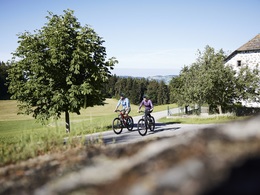
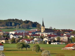
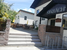
Circular route from Alberndorf via Steinbach and Kelzendorf with 3 refreshment stops
Round completely on tarmac
No signposting!
Accessibility / arrival
The tour starts in the centre of Alberndorf.
Bus stop: "Alberndorf Ortsmitte"
Free parking: behind the municipal office (incl. charging station for e-cars and e-bikes) or at the cemetery
- Charging point for electric cars (fees apply)
- Charging point for e-bikes (free of charge)
- Suitable for groups
- Suitable for teenagers
- Suitable for seniors
- Suitable for single travelers
- Suitable for friends
- Suitable for couples
- Spring
- Summer
- Autumn
Please get in touch for more information.
Kalchgruberstraße 2
4211 Alberndorf in der Riedmark
Phone +43 7235 7155
E-Mail gemeinde@alberndorf.ooe.gv.at


