Karlsbacher Rundweg
Starting place: 4141 Pfarrkirchen im Mühlkreis
Destination: 4141 Pfarrkirchen im Mühlkreis
Pfarrkirchen 13
4141 Pfarrkirchen im Mühlkreis
4141 Pfarrkirchen im Mühlkreis

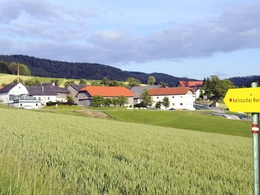
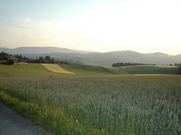
An ideal circular trail to get to know village life in the Mühlviertel. An easy trail that leads through villages, flower meadows and forests.
From Pernerstorf, the route leads via Aumühle, Zinöck and Albernberg back to the starting point in Karlsbach.
The advantage of the hiking trail is that you don't have to walk the whole route at once, but instead so-called access routes have been signposted from Wurzwoll, Hinterleithen and Pernerstorf to Karlsbach.
These are short circular routes that take about an hour to walk.
Parking
- Parking space: 20
- All weather
- Suitable for groups
- Suitable for schools
- Pets allowed
- Suitable for teenagers
- Suitable for seniors
- Suitable for single travelers
- Suitable for families
- Suitable for friends
- Suitable for couples
- Suitable for children
- Spring
- Summer
- Autumn
Please get in touch for more information.
Pfarrkirchen 13
4141 Pfarrkirchen im Mühlkreis
Phone +43 7285 415
E-Mail pfarrkirchen@oberoesterreich.at
Web www.donauregion.at/pfarrkirchen
http://www.donauregion.at/pfarrkirchen


