Water Reservoir - Wurbauerkogel – Salzatal (valley)
Path number: 1
Starting place: 4580 Windischgarsten
Destination: 4580 Windischgarsten
Hauptstraße 28
4580 Windischgarsten
4580 Windischgarsten

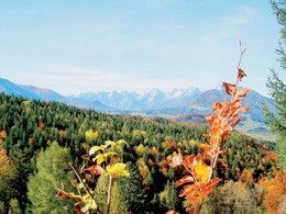
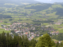
From the town centre of Windischgarsten, you will hike via the water reservoir to the Wurbauerkogel, then into Salzatal valley, which will bring you back to your original starting point!
Pass the bottom station of the summer toboganning track in Windischgarsten into Kühbergstraße (street) to the water reservoir – uphills to private road Wurbauer – Kleinerbauer farm – return via „Großkleiner“ farm and through the Salzatal (valley) to Windischgarsten.Trail-Nr: 1
Path number: 1
Starting place: 4580 Windischgarsten
Destination: 4580 Windischgarsten
duration: 2h 28m
length: 7,5 km
Altitude difference (uphill): 303m
Altitude difference (downhill): 309m
Lowest point: 598m
Highest point: 841m
difficulty: easy
condition: easy
panoramic view: Great panorama
Paths covering:
Asphalt, Gravel, Hiking trail
Starting point: Marketplace in Windischgarsten
Destination: Marketplace in Windischgarsten
further information:
- Flatly
Accessibility / arrival
by car:
West motorway A1 - exit Voralpenkreuz on the A9 (Pyhrnautobahn) direction Graz - exit Roßleithen / Windischgarsten
by train:
Hauptbahnhof Linz - Windischgarsten
Graz - Selzthal - Windischgarsten
Most economical season
- Summer
Please get in touch for more information.
Hauptstraße 28
4580 Windischgarsten
Phone +43 7562 5266 - 99
Fax machine +43 7562 5266 - 10
E-Mail info@pyhrn-priel.net
Web www.urlaubsregion-pyhrn-priel.at/
https://www.urlaubsregion-pyhrn-priel.at/


