Scharnstein - Vorchdorf - Kirchham - St. Konrad - Scharnstein
Starting place: 4644 Scharnstein
Destination: 4644 Scharnstein
Im Dorf 17
4645 Grünau im Almtal
4645 Grünau im Almtal

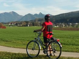
Beautiful cycle tour away from the main traffic routes.
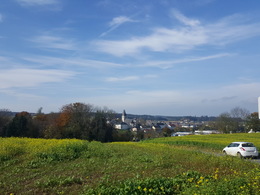
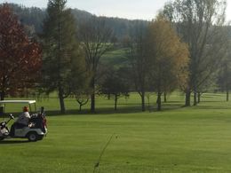
Start at Gasthaus Taverne Thann in Scharnstein - from there along the R 11 ALMTALRADWEG via Dorfbühel - past the Viechtwang parish church via Herrnberg in the direction of the electricity plant - Pfaffing - in the direction of Vorchdorf to Einsiedling church. Turn left here and continue on the R 13 TRAUNVIERTLERWEG. After a slight up and down past many fields, you pass the village of Kirchham. From there, continue through the golf course towards Eisengattern. Here you have to take the road for approx. 1 km to Kranichsteg. But from there a cycle path leads via St. Konrad - Halsgraben with 2 x road crossings back to the starting point! Parking
- Parking space: 4
Most economical season
- Spring
- Summer
- Autumn
Please get in touch for more information.
Im Dorf 17
4645 Grünau im Almtal
Phone +43 7616 8268
E-Mail almtal@traunsee-almtal.at
Web www.traunsee-almtal.at
http://www.traunsee-almtal.at
powered by TOURDATA


