Gowilalm snowshoe tour
Path number: 616
Starting place: 4582 Spital am Pyhrn
Destination: 4582 Spital am Pyhrn
Stiftsplatz 1
4582 Spital am Pyhrn
4582 Spital am Pyhrn

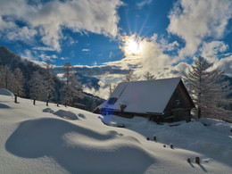
This tour with magnificent views of the Windischgarsten valley has the potential to become a favourite hike
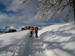
Through the mountain forest, you will reach your destination on a steadily ascending path. The most beautiful alpine balcony in Upper Austria with a magnificent panoramic view awaits you there!
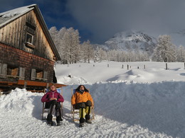
After a break, return the same way. The specified time refers to the entire route.
SAFETY INSTRUCTIONS:
- Tour suggestion - use at your own risk
- Information without guarantee
- It is recommended that you take a hiking map with you
- Current Note avalanche warnings and the snow situation
Path number: 616
Starting place: 4582 Spital am Pyhrn
Destination: 4582 Spital am Pyhrn
duration: 2h 46m
length: 5,4 km
Altitude difference (uphill): 468m
Altitude difference (downhill): 468m
Lowest point: 881m
Highest point: 1.350m
difficulty: medium
condition: medium
panoramic view: Great panorama
Paths covering:
snow
Starting point: Car park at the Goslitzbauer
Destination: Car park at the Goslitzbauer
further information:
- Experience of nature
Accessibility / arrival
Car park at the Goslitzbauer (approx. 400 m after the Jausnstub'n Singerskogel)
Most economical season
- Early winter
- Deep winter
Please get in touch for more information.
Stiftsplatz 1
4582 Spital am Pyhrn
Phone +43 7563 249
E-Mail spital@pyhrn-priel.net
Web www.urlaubsregion-pyhrn-priel.at
https://www.urlaubsregion-pyhrn-priel.at


