Erdmannsdorf Runde
4293 Gutau

Route
Gutau - St. Oswalderstraße - Wimmer Höhe - Walchslehner - Fischer - Voglhofer - Höllberg - Erdmannsdorf - Kagerer - Gusner - St.Oswalderstraße - Gutau
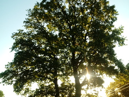
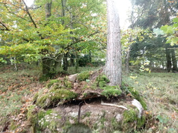
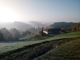
The circular trail leads across the Gutauer Kuppenland to pitch oil stones and beautiful places of power with sacrificial bowls, wayside shrines and chapels. Head out of the village via St. Oswalderstraße and via Pfarrerwald (turn left after the waste collection centre) up to Walchslehner. Continue straight on via Fischer and Voglhofer to Erdmannsdorf, where the "Zum Scharti" inn invites you to stop for a bite to eat. From this turning point, the route continues via the Kagerer holiday farm across meadows, gravel and along the Lehen goods road back to Gutau. Around 100 metres after the "Schöferberg" junction, a small forest and meadow path (off to the right) connects the farm track with the lower Maria Bründl district road, which in turn leads directly to the centre of Gutau (off to the left).
Paths covering:
further information:
- Flatly
- Experience of nature
- Spring
- Summer
- Autumn
Please get in touch for more information.
St. Oswalderstraße 2
4293 Gutau
Phone +43 7946 6255
E-Mail gemeinde@gutau.ooe.gv.at
Web www.gutau.at/tourismus-freizeit.htm…


