Von den Färber*innen zu den Rittern
4293 Gutau

Route Gutau - Reichenstein
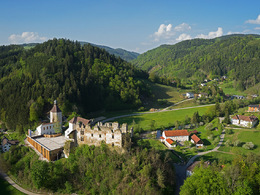
Gutau Dyer's Museum - Hundsdorf (distant view, Pechölstein) - Gaisruckdorf (Guttenbrunner Leitn, Kopetzky cave) - Gaisrucker (16th century farmer's guide) - Upper Austrian Castle Museum Reichenstein
Route Reichenstein - Gutau
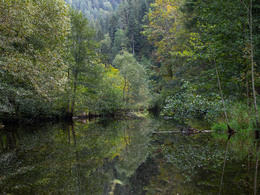
Reichenstein Castle - along Waldaist (river pearl mussel) - Schaffelmühle (Scheiterschwemme) - Marreith (Kirchensteig) - Gutau Dyeing Museum
Fascinating views and insights
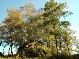
The themed hiking trail "From the dyers to the knights" connects two culturally and historically fascinating places: Gutau and Reichenstein. Along the way, twelve large information boards provide information about pitch oil burning and log panning, robber chief Kopetzky and knight Haym, river pearl mussels and beech forest as well as sights and panoramic views. You can start the trail either in Gutau or in Reichenstein.
The 9.4 kilometres from one town to the other can be easily covered in around 2.5 hours. It can also be completed as a 19-kilometre circular route in one day. As the two museums
museums are halfway along the route, it is also possible to take a break in Gutau or Reichenstein.
Paths covering:
further information:
- Flatly
- Experience of nature
- Spring
- Summer
- Autumn
Please get in touch for more information.
St. Oswalderstraße 2
4293 Gutau
Phone +43 7946 6255
E-Mail gemeinde@gutau.ooe.gv.at
Web www.gutau.at/tourismus-freizeit.htm…


