Pierbach route no. M2
Path number: M2
Starting place: 4282 Pierbach
Destination: 4282 Pierbach

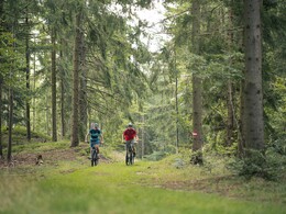
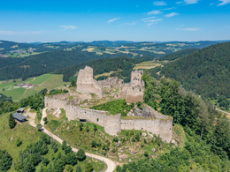
From Pierbach, the route takes you through the Naturpark Mühlviertel (Mühlviertel nature park). Afterwards, you will follow the Kleine Naarn downriver to the Heindlmühle before catching sight of the Ruttenstein ruin. Via Mönchdorf, you will reach Pierbach again.
Path number: M2
Starting place: 4282 Pierbach
Destination: 4282 Pierbach
duration: 2h 27m
length: 34,0 km
Altitude difference (uphill): 1.134m
Altitude difference (downhill): 1.132m
Lowest point: 482m
Highest point: 710m
difficulty: medium
condition: medium
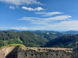
panoramic view: Individual Views
Paths covering:
Asphalt, Hiking trail
Starting point: Town square
Destination: Town square
further information:
- Flatly
- Board possible
Accessibility / arrival
Coming from Linz by car: via A7 and Königswiesener Str./B124
44 min., 45.0 km
Coming from Vienna by car: via A1
2 hrs. 15 min., 155 km
- Suitable for groups
- Suitable for teenagers
- Suitable for single travelers
- Suitable for friends
- Suitable for couples
- Spring
- Summer
- Autumn
Please get in touch for more information.
4282 Pierbach
Phone +43 5 07263 - 401
E-Mail info@muehlviertel.at
Web www.muehlviertel.at
https://www.muehlviertel.at


